Where do I begin?
T-26 days to Peru. With all sorts of hiking under my belt, I was long overdue to push the hiking to another level ... An altitude of 14,000 feet to be exact.
Julia and I planned Mt Bierstadt a couple of weeks ago. The weather looked good, the drive reasonable and the timing perfect. I did almost none of the planning so when Julia's knee went bung and she called to bail on Bierstadt last night, I had to jump into action and rightly so. It was no longer good enough to have a bag full of snacks and no idea where the mountain was!
By 9:30pm last night, I was hitting the sack. My backpack ready at the front door with food, water, cell phone and some extra layers. Yeah, there were miscellaneous pockets full of first aid stuff, hand sanitizer, head lamp, knife etc etc too. I should have been a Girl Scout, eh?!
4am and I was wide awake - ahead of schedule. I decided to make tracks early and was headed out of Boulder with my cell phone displaying the route map by 4:35am.
Driving through Georgetown an hour later I was impressed by it's cuteness, even though we were a ways off sunrise and it's colors were yet to pop. I followed the signs to Guanella Pass and enjoyed putting little Audi through her paces on hair pin turns in the darkness.
Ok, confession: I lost cell signal about as soon as I left Georgetown and that left my route map saying "visual not available". Wonderful. I wracked my early morning, half caffeinated brain to remember the details on how to find the trail head and eventually, I found it. It was 6:15am and the first rays of light were casting a pink hue on some high clouds.


Strava... That's the app I use to track my hiking and the app Im yet to use with any semblance of competence. I once again forgot to turn it on at the trail head and a mile later, cursed as I started it - knowing I had already done myself a disservice.
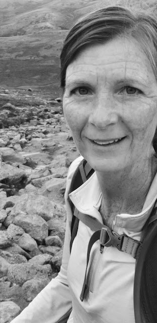
By this time I had already turned my "silent retreat" solo hike into a mildly social outing, having met a lovely German couple and their daughter. We hiked together a bit before I realized the daughter and I were in sync regarding pace, but the parents were a tad on the pokey side. I adopted said daughter and stole her away from her parents. Appelonia and I breathed heavily in the early, thin air as we ascended, step by step. The trail gradually getting more difficult and more steep. The summit, clearly in sight, never seeming to get much closer. Her folks slowly going out of view.


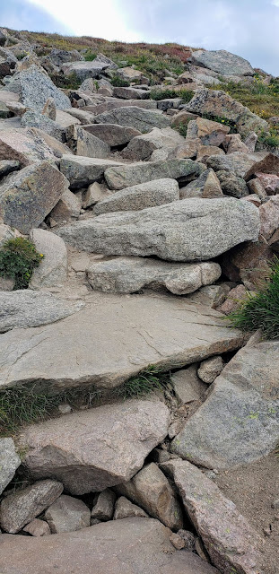
I had underestimated the effect of altitude on temperature. At the car park, the air was cool. Once on the trail I had to move quickly to stay warm and yet my fingers were freezing. None of my layers came in the form of gloves, or hat. A mile in, I began to shed layers though. My fingers were now toasty warm and wildly tingly with "pins and needles". Closer to the top, as the trail became a pile of big rocks (as all mountains appear to be at the top) the wind was frigid and there was no getting away from it.
At the most bouldery section, the trail seems to come and go. I'd go as far as saying there are 100 trails to the top and no real trails to the top... at least no good ones. LOL Make your way up Bierstadt as you make your way in life - winging it - cutting your own path.


Appelonia and I found the geological pin that I call "proof that I summited" and had our picture with a sign that fellow hikers had gifted us. Yep, I forgot my sign this morning too!


There was time for a snack at the top and I broke out my Cheez-Its. Appelonia had never had them and me... Well I thought they had never tasted so good. I was convinced that sharp white cheddar Cheez-Its with ridges were the bomb (until I got to the bottom later and they tasted fairly normal again). If I ever needed another reason to hike to 14,000 feet again, the way food tastes might push me over the edge. Strange but true.


Did I mention I saw a goat? Big, white and shedding chunks of fur. What a treat. It makes up for the fact that several other hikers saw a giant moose near the car park and I didn't.


I hurried down, alone. My German millenial had rejoined her parents - who actually did make it to the top! As I plodded along, I warmed up. By the time I had a mile to go I was once again hot and now, the sun was actually shining. I arrived back at the car at 11:15am.
Bierstadt:
7.5 miles round trip, with 2,700' of elevation gain.
I'd call it moderate to difficult. There is a fair bit of "loose dirt" even in steep areas. The last mile is smaller rocks turning to larger boulders that require scrambling which is best done without poles, in my opinion.
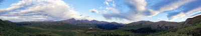
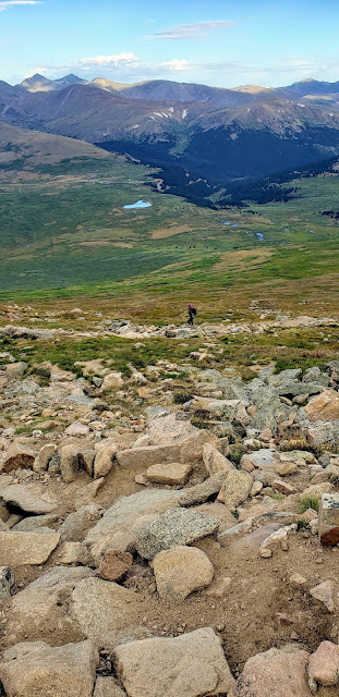
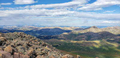
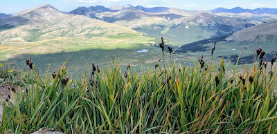
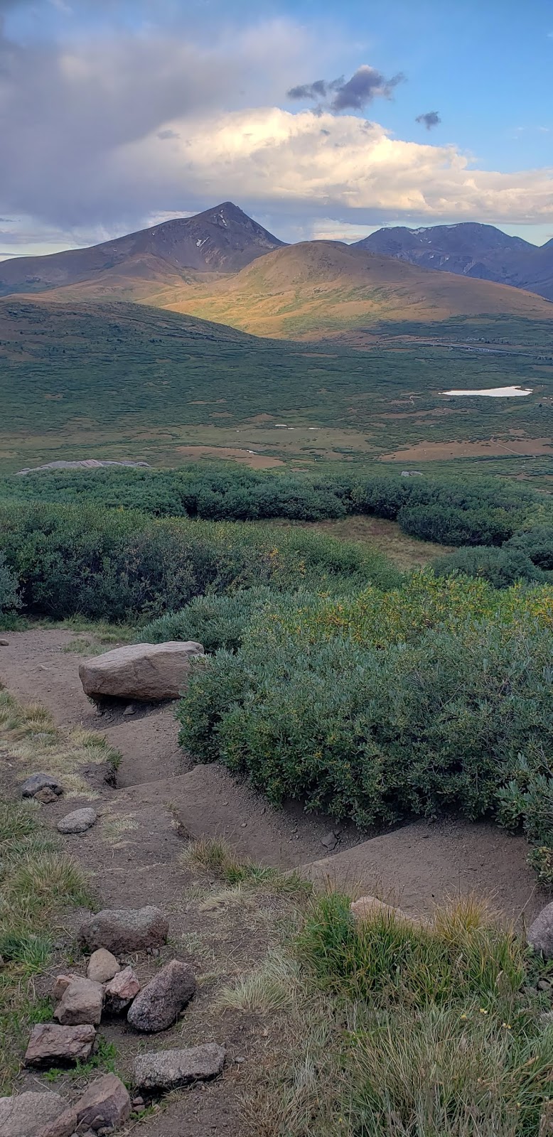
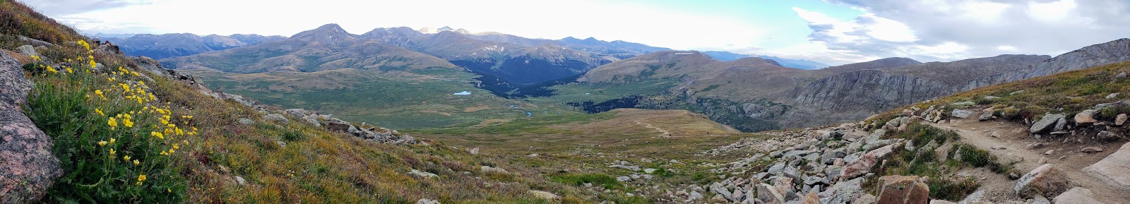
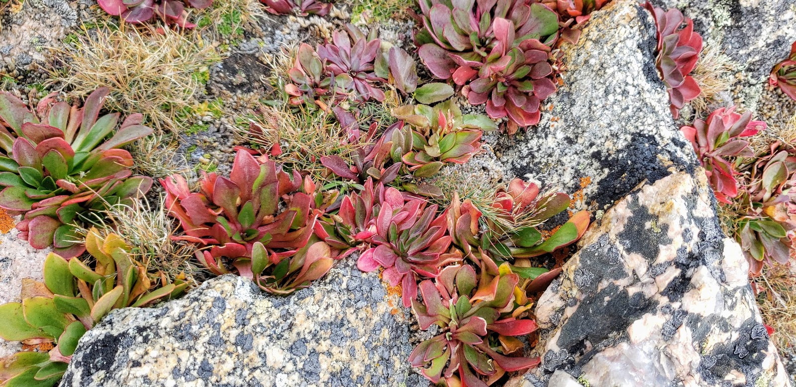
The view is impressive from the car park all the way up. Whether its morning, noon or evening, the literally breathtaking view makes the hike, the hard labor so worthwhile.
And the people... They make you smile. Everyone has a kind word of encouragement to share. A little bit of Colorado magic has smeared itself along the entire trail.
'Tis true. I might have decided today that more of Colorado's 14-ers (there are 58) will be in my future - Made possible in no small part by Diamox.
*Diamox is a drug that I had pre-emptively taken for acute mountain sickness. The side effect being those pesky "pins and needles" in my fingers and later, on the tip of my tongue. And, being a diuretic, some extra pee breaks. On the bright side, I had no altitude symptoms at all, which was a freakin' miracle! In fact, while I wouldn't go as far as saying my brain was at its highest and best, I did note that conversation in English was a piece of cake AND I managed to drag out some Deutsch language from the cobwebs deep inside. That, my friends, is a win any day.
No comments:
Post a Comment